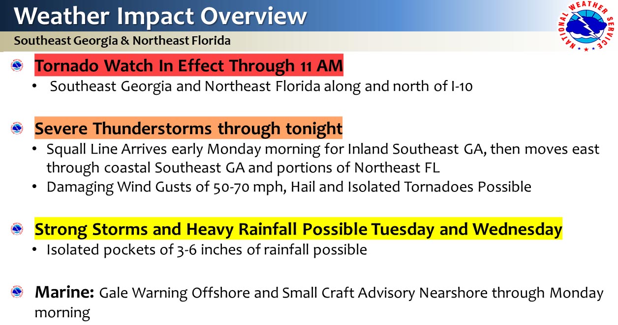
Tornado Watch through 11 am SE GA & Suwannee River Valley of NE FL
- A severe squall line of thunderstorms was on the doorstep of SE GA this morning
- The squall line will continue to maintain strong to severe storm strength as it approaches the Golden Isles and approaches the Suwannee River Valley of NE FL through 10 am
- Hazards: Wind damage (trees down, power lines down, some structural damage), hail & tornadoes
- As the line moves into NE FL into the afternoon, there remains a severe threat, but the speed of the line will be slowing down
- The tornado threat is expected to decrease over NE FL as storms enter through late afternoon, but strong wind threat will continue
- A transition to locally heavy rainfall threat is expected for NE FL tonight into Tuesday

POSTED: 04-13-20 | 09:30 hrs
